LEVICE AND SURROUNDINGS
The Levice Fishponds
Easy, accessible for cyclists, wheelchairs and strollers, length approx. 1km, walking time 20min
The system of Levice fishponds was built in the 1950s and was originally meant to be used for growing rice. Due to the abundant presence of waterfowl, amphibians and reptiles, it was declared a Protected Area in 1974. An easy walk around the ponds is made more pleasant by benches and a path for both walkers and cyclists along the way.


Vápnik Hill (274 m above sea level)
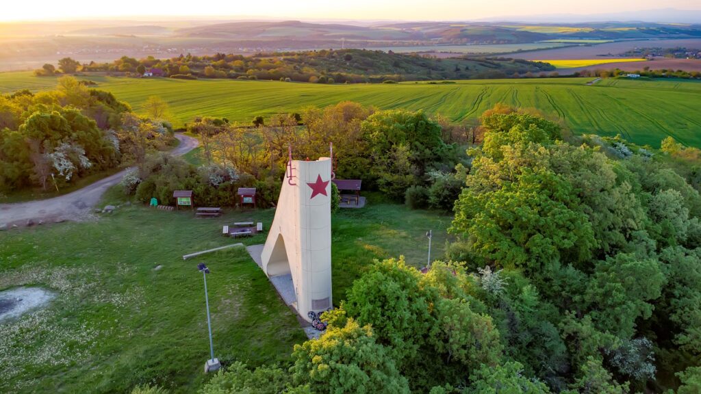
Information panels in the rest area on Vápnik Hill. A walking route is available starting from Ludanská cesta, Levice, 5–7km long, with an elevation gain of 120m.
It is a massive, extinct travertine mound, of which there are several along the Levice Spring Line. It is located in the Levice district of Kalinčiakovo. It formed through the precipitation of calcium carbonate from thermal springs and was known in the past also for the mining of travertine and Levice golden onyx. During the region’s liberation battles, the travertine mound was the site of Marshal Malinovsky’s military headquarters, from where he directed the fighting. A lookout tower also commemorates these events, offering a view over all the surrounding parts of Slovakia. The site is accessible on foot, by bike (yellow cycling route 8140, a turn-off from the green route 5124), or by car from the district of Kalinčiakovo, and offers a pleasant rest area.

Nature Trail: Surdok
An easy forest path, suitable for families with children, length 2km (4km with return), walking time: 2h
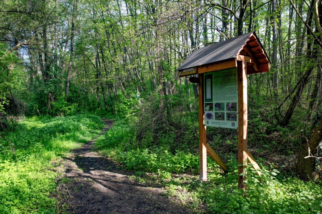
In the district of Kalinčiakovo, enjoy the easy, walkable forest route of the Surdok nature trail. You can start the route at the square in Kalinčiakovo. Stop by another of the travertine mounds, topped by one of the oldest churches in the Levice district, with a Romanesque apse. Along the way, watch the small birds around the installed birdhouses and wooden benches. The route leads through the village and a small wood, all the way to a sand pit filled with water by a local stream.


Horšianska Valley
Two nature trails – an easy southern route (towards Krškany), accessible for cyclists and strollers, 2.3km long. The northern route, 5.8km long, is accessible on foot only, walking time 2.5–3h, and is impassable in bad weather and in winter.
The Horšianska Valley National Nature Reserve formed as a breakthrough section of the Sikenica River in the northern part of the Ipeľ Hills. Here the watercourse cut into the hard andesite bedrock and, over a geologically long period, carved out a canyon with steep rocky slopes. The valley is protected for its geomorphological as well as botanical and cultural significance. It was declared a protected area in 1976. The trail passes directly through the village of Horša, now a district of Levice.
The Horšianska Valley is accessible via two nature trails of different character and difficulty. From the centre of the village towards Krškany there is a relaxed, easy trail with three information panels, also suitable for families with children and strollers. The northern part of the valley was recently opened up with a nature trail along the Sikenica River, over unmaintained terrain. Completing it requires climbing over fallen trees and wading through the river, and in summer it becomes overgrown with lush vegetation. During snowmelt or heavy rainfall, the trail is impassable. This route offers a more adventurous way to cross the valley. Don’t forget to stop at the lookout point along the way …


TEKOVSKÉ LUŽANY
The Tekovské Lužany Reservoir and the Avenue of Newborns
Easy, accessible for cyclists (mown grass surface), length 3.08km, walking time 1.5–2h.
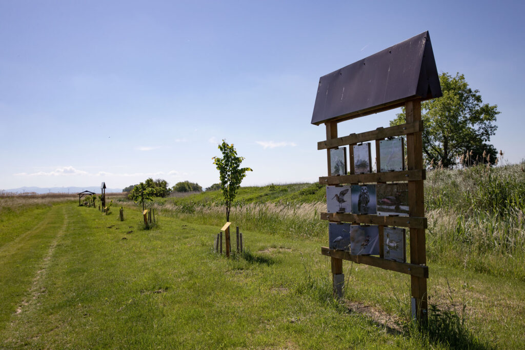
The quiet, peaceful surroundings of the Tekovské Lužany reservoir offer a place for rest, walking and fishing. It was originally built for irrigation and fish farming. Today it is a nesting site for 68 bird species and a variety of aquatic habitats. A pleasant rest area with a nature trail has been built nearby, and for several years the village has been planting memorial trees there as part of the Avenue of Newborns.


RYBNÍK
Krivín National Nature Reserve
A more demanding nature trail from the village of Rybník, walking only, length 5km, walking time 2.5–3h, elevation gain 300m. The blue-marked hiking trail leads from the village of Tlmače.
The andesite crag of Krivín rises 140 m above the river Hron. It was declared a National Nature Reserve in 1993 to protect its heat-loving flora and fauna. Historically, it is a significant archaeological site, where remains of an early medieval fortification (hillfort) have been found.
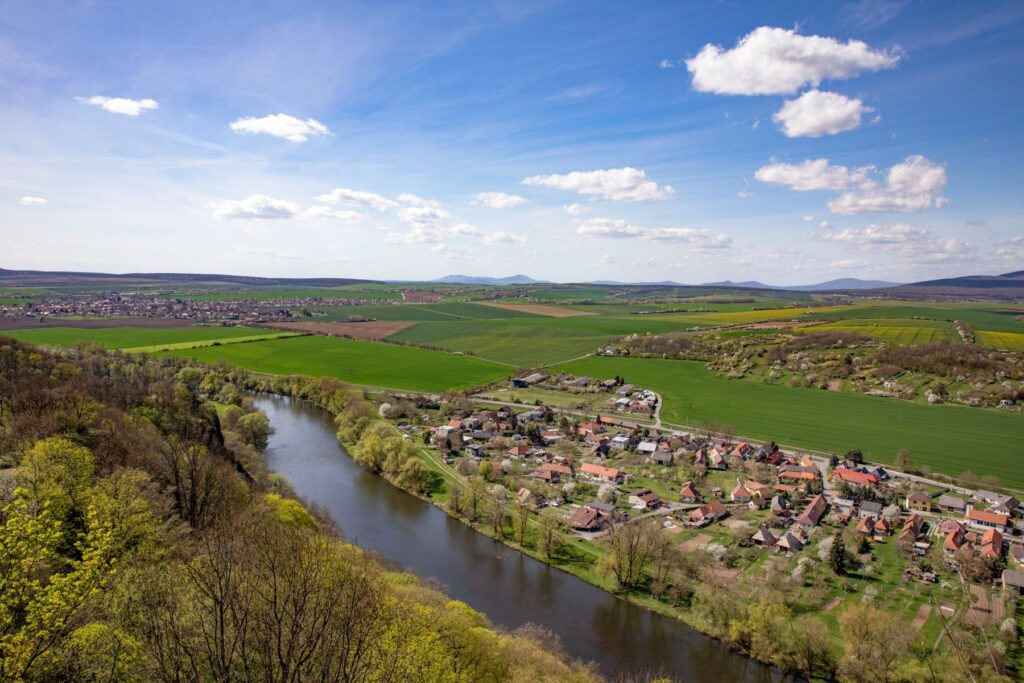


The classic hiking trail leads from Tlmače along the Hron River, following the blue markers. However, you can also choose a circular nature trail that starts in the village of Rybník by the Krivín Restaurant. It takes you through the heart of the village to the Prieložky site above the Church of the Most Holy Trinity. From there the trail heads into the Hrúštenská Valley, where it joins the blue-marked hiking trail leading up to Priesil Hill. After reaching Krivín, the circular trail descends to the Hron floodplain, and near Beniak’s Mill it turns left, rejoining the trail markers back to the village of Rybník.
ČAJKOV
Čajkov Crags National Nature Reserve
A more demanding route, walking only, length 4.8km, elevation gain 250m, walking time 1.5h
The Čajkov Crags nature trail is the oldest nature trail in the wider Levice area, built in 1990 on the occasion of the 8th West Slovak Nature Conservationists’ Camp. It showcases the natural values of the south-western part of the Štiavnica Hills in the cadastral area of the village of Čajkov.


The circular nature trail starts and ends at the Deberča site, accessible by road from the village of Čajkov, or on foot from the Viničná hora site, Opatová, in the cadastral area of the village of Nová Dedina. The route leads through the Sovia Valley, then climbs a steeper forest path past the rock formations of the Lower, Middle and Upper Crags. It then descends gently back into the Sovia Valley. Along the way, 5 information panels provide details about the surrounding nature. At the Upper Crag site, among the andesite rocks, you can make out the Stone Frog.